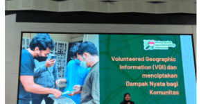
Involving the Youth Community in the Volunteered Geographic Information (VGI)
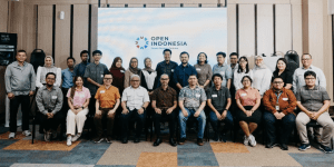
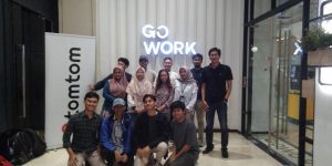
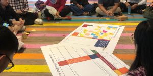
Purwokerto, 13 Oktober 2025 — Universitas Muhammadiyah Purwokerto (UMP) melalui Fakultas Sejarah dan Pendidikan Geografi sukses menyelenggarakan Seminar Nasional dan Workshop Kolaboratif bertema “Jelajah Peta, Bangun Cerita, Gen Z Berperan, …